


Want to experience something different than the Provence or the Western Alps? I have an idea: the region south of Grenoble. But beware: The Vercors’ daring roads are only suited for those free of vertigo. You can NEVER go straight for more than 100 metres here. Die hunt for curves can begin.
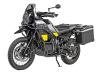
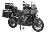
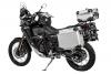
Provence, the Western Alps, Lake Geneva - what do these regions have in common? Millions of tourists make the pilgrimage here every year, choosing between dozens of travel guides for the destination. But what about the area between these tourist hotspots? South of Grenoble, in the Vercors and the Isère region? Terra incognita, in the middle of Europe? Forgotten land, complete wasteland? This Easter, I set off on the almost 600 kilometres from the Black Forest. The journey itself is more than worthy of an adventure ride: heavy snow on the Swiss motorway between Bern and Lausanne makes the trip very difficult. Fortunately, I am well equipped and have had a Touratech Companero suit for many years, which was designed precisely for such weather capers.
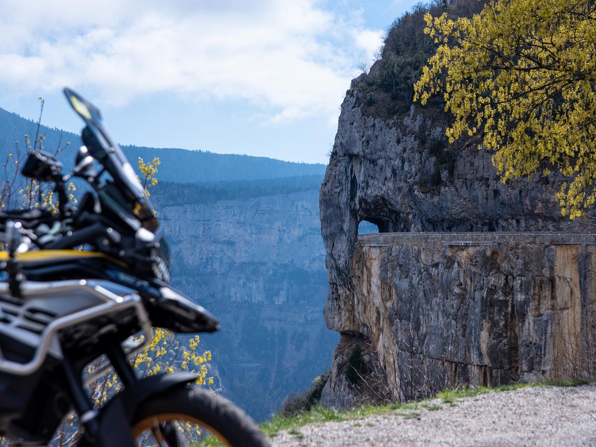
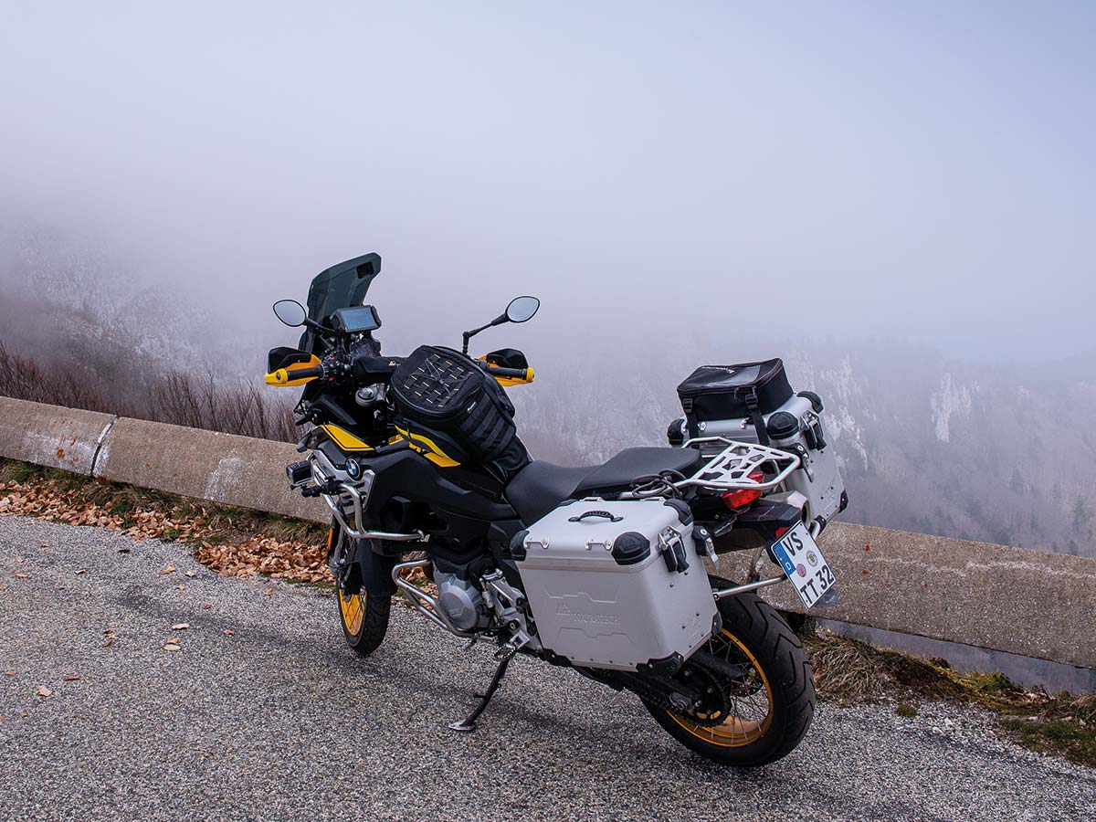
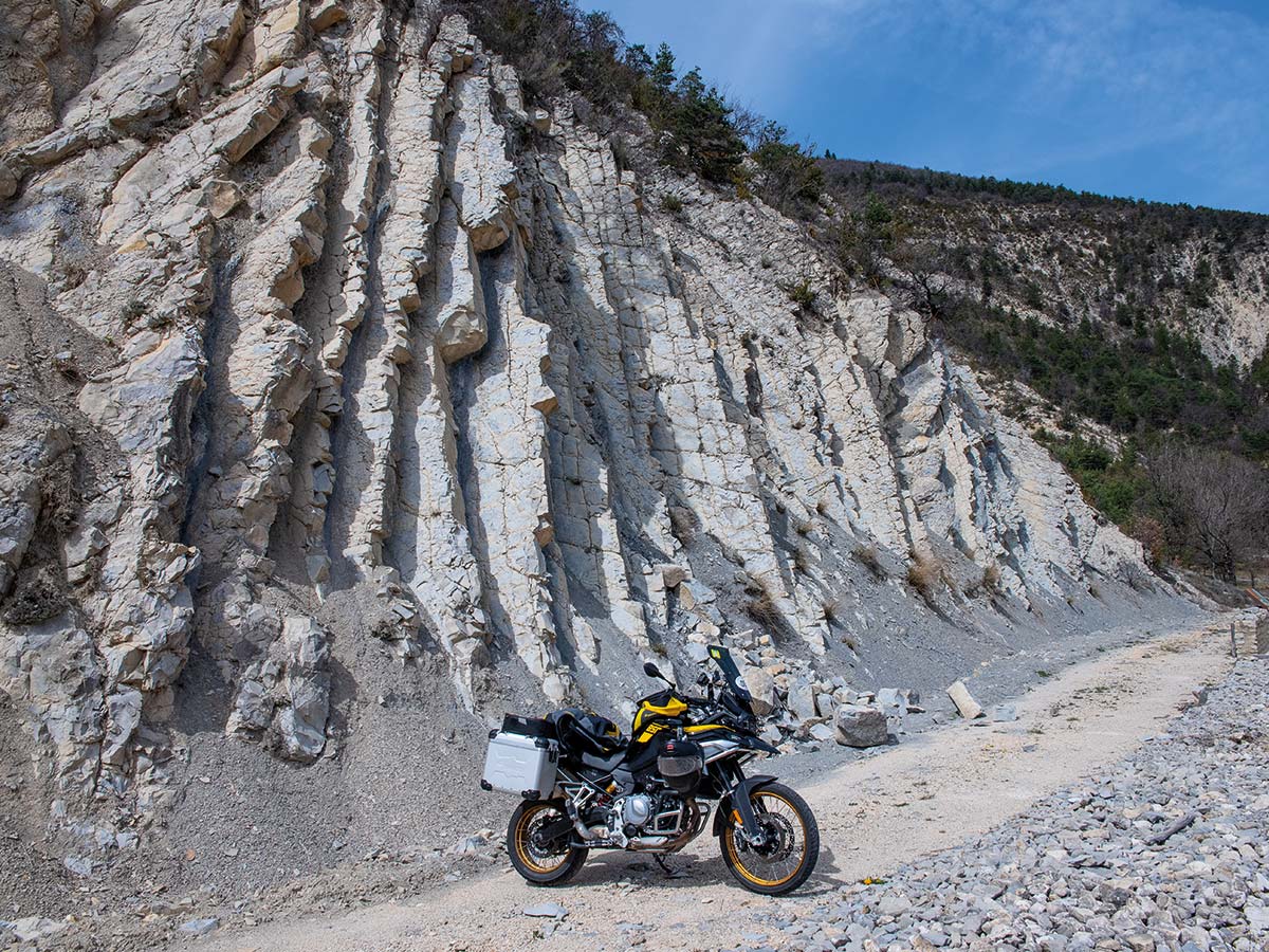
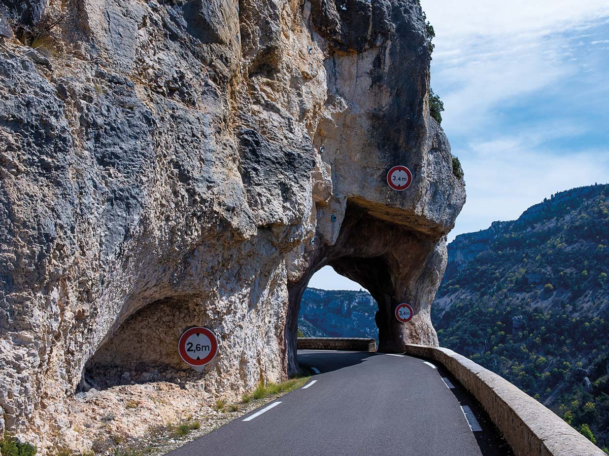
The sat nav directs me right to Grenoble and through noble villa suburbs in the direction of Vercors. On the D 106, the narrow road then spirals higher and higher until it passes the 1000-metre mark. The Vercors, a cold plateau. Winters often last until well into May, sparsely populated but criss-crossed by deep gorges that wild rivers have patiently carved into the soft limestone. Like the Gorges de la Bourne. There, a narrow road has been tediously chiselled through the rocks, with rustic tunnels and small walls on the precipice to the rushing river.
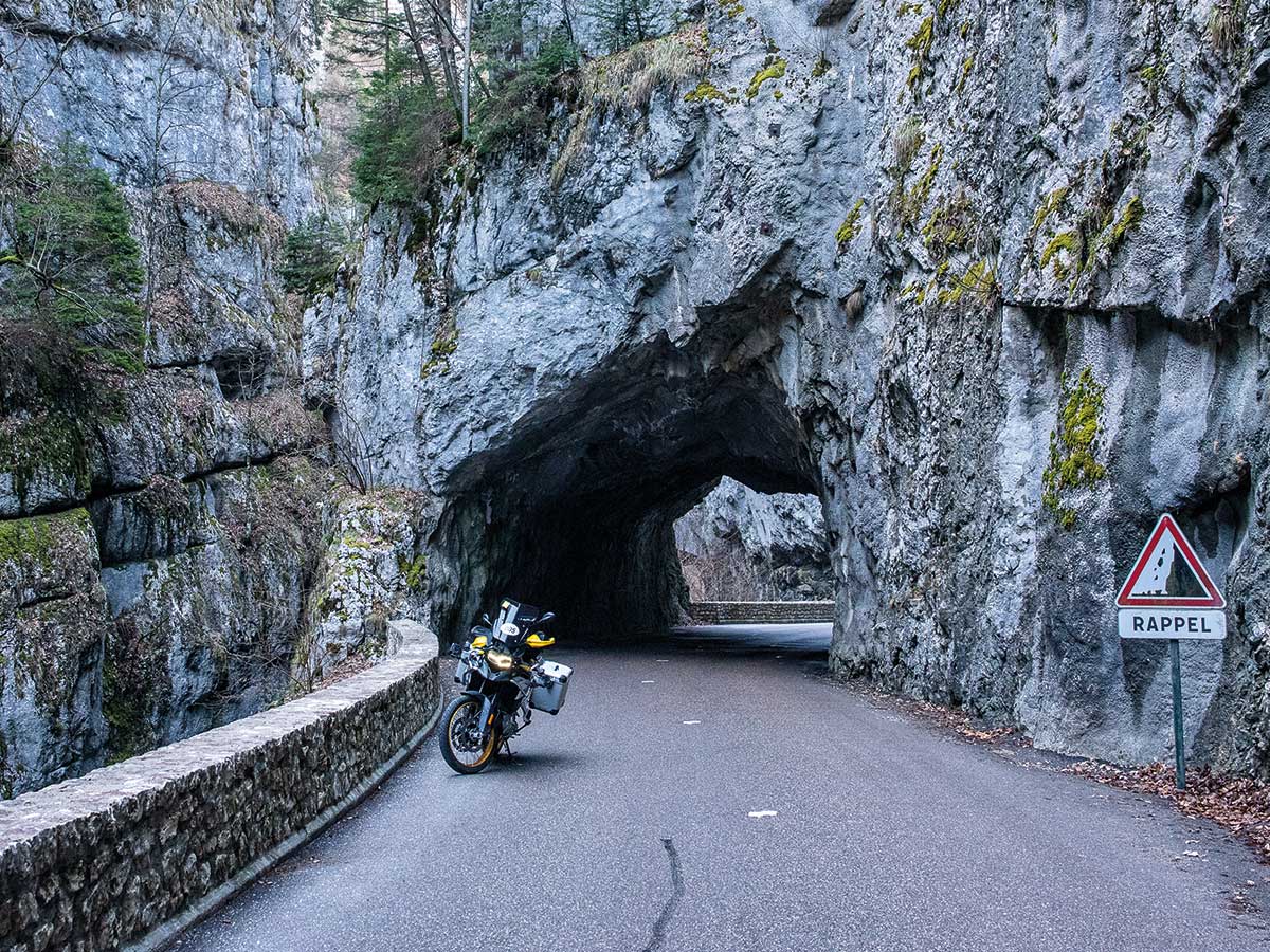
Then we continue on Route des Ecouges. A few tight bends, a handful of fine curves. The dramaturgy of the Vercors mountain roads is easy to see through. After a beautiful but by no means adrenaline-pumping climb through the forest, you plunge into a roughly carpentered dark tunnel, it becomes light again and you are hit by the Vercors hammer, unprepared and fierce. Suddenly the world looks completely different. The mountain just ends here and supports itself almost vertically as a white limestone wall into the nothingness of the depths. To cope with the differences in altitude, the road builders have not seldom carved extremely steep, sometimes even single-lane roads into the rock. One thing is guaranteed here: The Vercors is enough for maximum thrills.
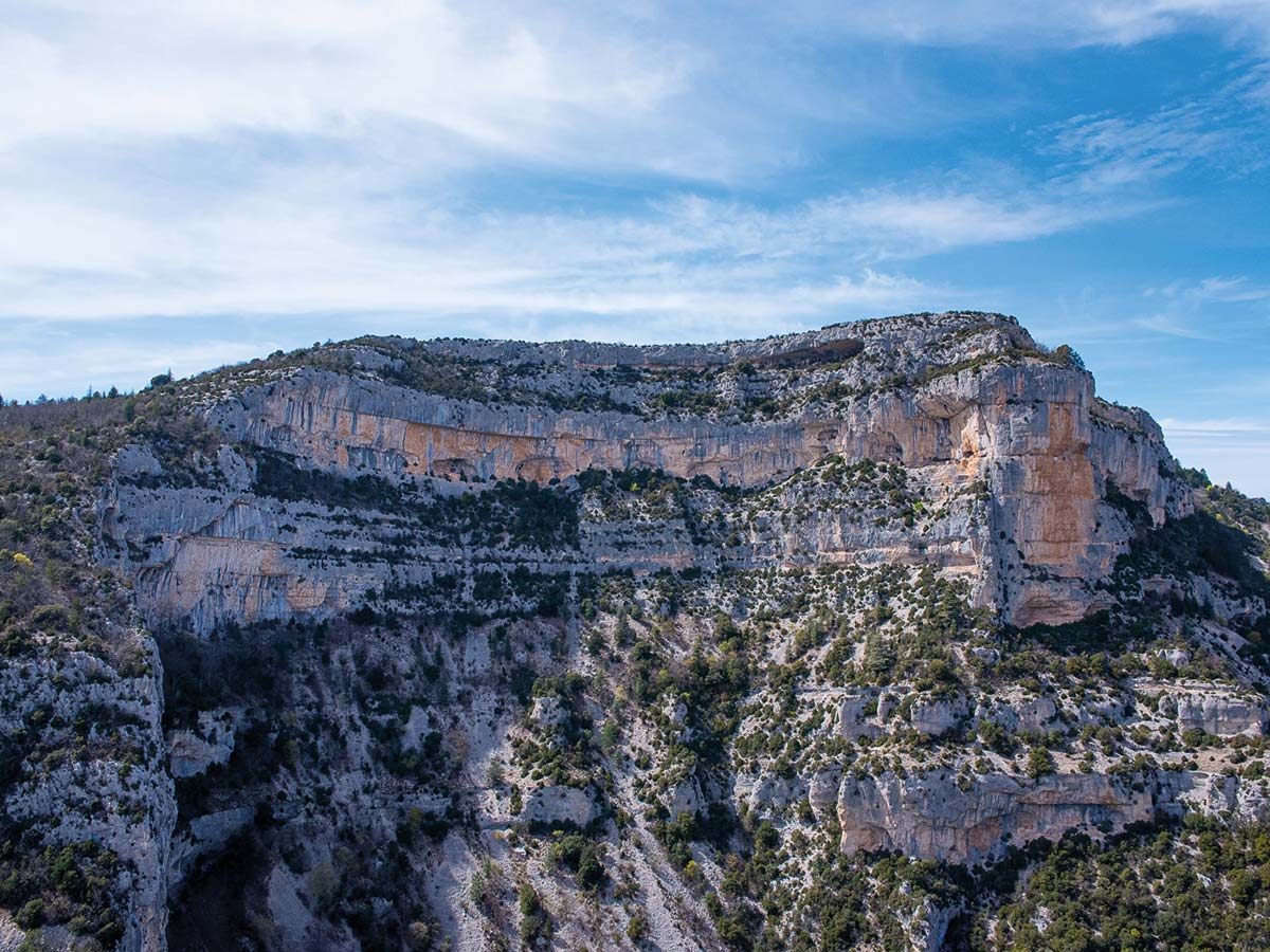
The next highlight on this impressive journey is the Gorges du Nan. Although the on-board thermometer varies between fresh minus temperatures and barely double-digit plus temperatures, the drama of the Vercors is unique. First harmlessly uphill through the forest, a sharp left turn leads into a narrow and dark tunnel, and then again: YEAH! As if the programme changes in a second from rural randomness to a Hitchcock thriller. A vertical white wall, deep down the green gorge and at three-quarters height this road hangs from the rock. Works of art of road construction, daringly hammered into the wall, every biker's dream. In any case, the road-building gods were in an extremely good mood when this network of roads and paths was built.
The Route de Combe Laval is one of the most interesting roads in the Alps. The particularly boldly designed road was carved into the almost vertically sloping rock walls, and over the road parapet you look down some 600 m to the valley floor. The actual gorge stretch is 3.1 km long and lies between the Col de Gaudissart in the north and the Col de la Machine in the south. From a viewpoint on the opposite D 2, which can be reached from the Col de la Machine in just under 3 km, you have a beautiful view of the route in the rock. This Col de la Machine is something quite outstanding in terms of road construction. And the name is also more than unusual. I ask myself, how did this mountain get this name...? In the 12th century, monks exploited the Bouvante forest. As there were no roads, they used a "machine" to bring the wood to Royans. This machine, operated by men, was installed at the site of the pass on the edge of the cliff. The machine was used until the drilling of the Chartreux road in 1600.
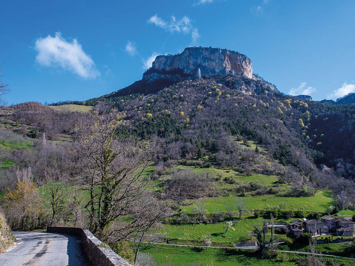

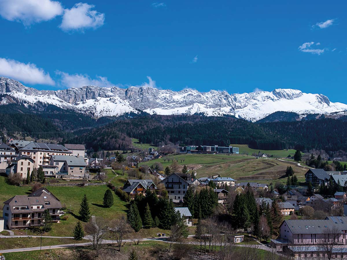
The Vercors is not exactly large in terms of area. But due to the fact that there are several very narrow and wild road connections here that master huge differences in altitude, the Vercors has long ceased to be an insider tip among motorcyclists. It has an extension of about 30 by 40 kilometres and several two-thousand-metre peaks (summit heights up to 2350 m). Since it rises steeply on all sides, it could only be made accessible to road traffic in the 20th century, partly with galleries blasted into the rock. Due to its limited usability, the Vercors is home to France's largest nature reserve, covering 170 square kilometres.
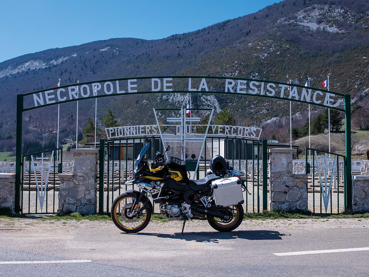
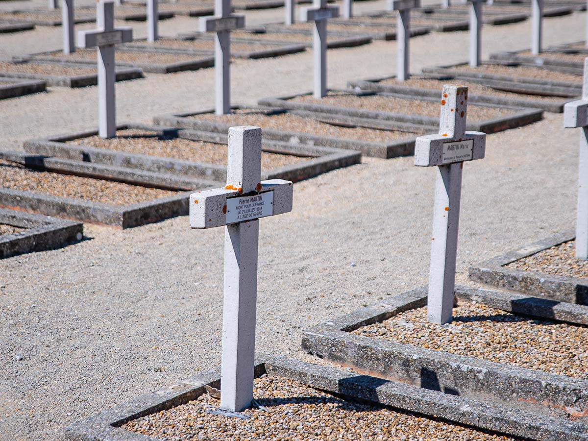
And then there was the République du Vercors during the Second World War. During the German occupation in World War II, the Vercors was an important centre of the Résistance, as a retreat, training, hospital (Grotte de la Luire) and supply area for an active group of soldiers who organised partisan raids from this region, especially in the Rhône valley and the Alps. On 1 February 1944, the Vercors fighters, among others, were united to form the Forces françaises de l'intérieur. The resistance fighters proclaimed the République du Vercors after 6 June 1944. Over 4000 fighters gathered; the partisan struggle was to become an open, armed insurrection. Unfortunately, these efforts were not very successful, but had a strong moral radiance for the whole of France.
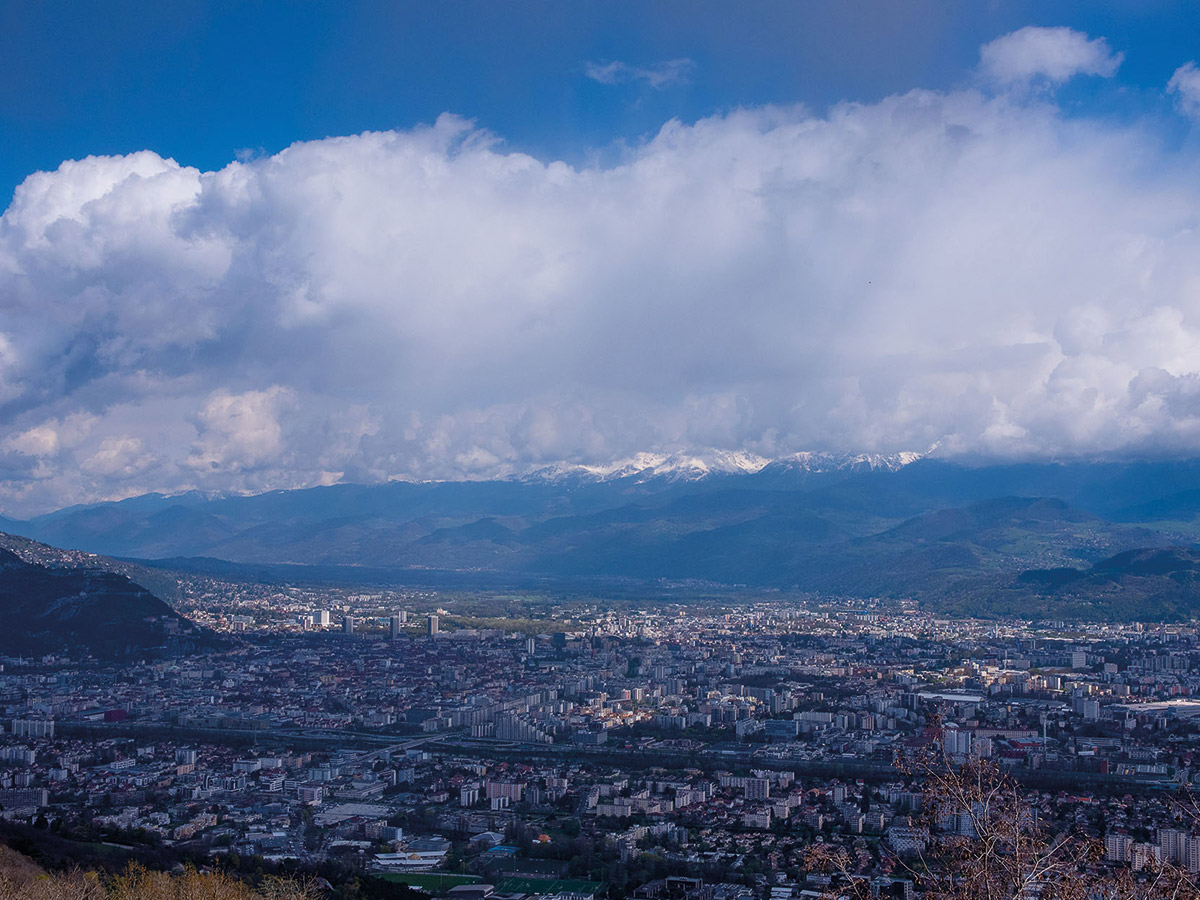
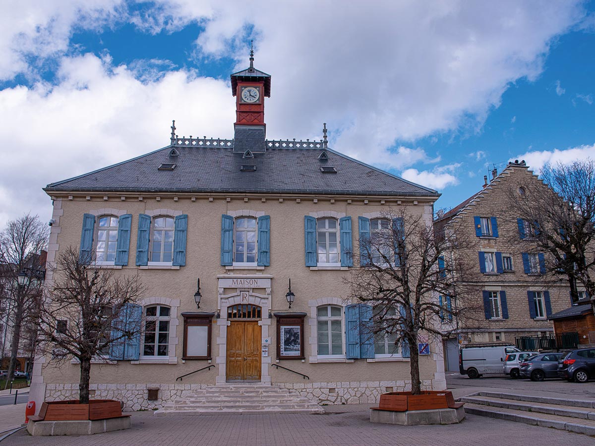
After two days in the Vercors, which I spent in the beautiful village of Villard-de-Lens as a base, I long for warmer climates.
Provence is only a stone's throw away from Vercors. Mont Ventoux, with its almost 2000 metres of altitude, is considered the giant of Provence. The village of Sault is perched on a rocky outcrop on a plain consisting of fields of wheat, spelt and lavender, revealed at the end of a bend. It really is considerably warmer here. The thermometer shows a tempting 20 degrees - and the street cafes are all open. The giant bears its name quite deservedly. You can see the limestone-coloured mountain from far away. The Celts probably worshipped it as a holy mountain. Mont Ventoux became popular beyond the region after Francesco Petrarca climbed and described it in 1336. Today, it is accessible by a mountain road that is of great importance for cycling. The giant of Provence is a popular destination for car and motorbike tourists who reach the summit from Malaucène, Sault or Bédoin.
Mont Ventoux is not only a legendary peak for cycle racing. In earlier decades, various motor sport races also took place here on this sacred mountain. For example, the D 974 on the south side of the mountain served as a race track for many years. On 12 September 1900, three De Dion-Bouton cars drove to the summit in two and a half hours. The first organised race (Concours de côte du mont Ventoux) took place in 1902. The winner drove a Panhard & Levassor and achieved an average speed of 47.5 km/h. In 1957, two Porsches and a Maserati were considerably faster at around 100 km/h. The speed record was achieved in 1976 with 150 km/h. Since 1977, there have been no more car races up Mont Ventoux. I stick to this and take a relaxed early morning drive up to the summit of Provence. In summer, there must be thousands of tourists, drivers and cyclists. Today I have the summit almost to myself. That's understandable - it's just after Easter and the summit road has only been open for a few days. And at the top - it's surprisingly cold again. Zero degrees! So - quickly back down to the plain and find one of the tempting street cafés in Bedoin.
The end of my little Easter bike tour is the Gorges de la Nesque. This gorge is the perfect stomping ground for motorbike enthusiasts and lovers of beautiful, protected nature. Stay on the tourist road between Monieux and Ville-sur-Auzon for a dizzying view, but also for spectacular scenery above the canyon. Stop at the Belvédère du Castellaras to enjoy the view of the Rocher du Cire.
Resumee
In five days it was: just under 2500 kilometres. 155589956 bends. 13 cafe au lait. 17 curses that the bend is coming so fast you have to brake really hard. 9 croissants. 5 astonished farmers who watched me driving off-road. 4 croque monsieur. Almost 500,000 seconds of happiness!
